MY WEBSITE
LEARN MORE ABOUT ME
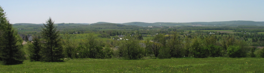
North Country National Scenic Trail Association
Central New York Chapter
Trail Maps
These maps are meant to help locate trailheads and parking, and should not be your only source of guidance as you navigate the trail. Hikers should be aware of their location at all times, carry maps,and let others know where they are headed and when to expect them to return. A cell phone is also an excellent precaution.
Please note that, as of late July 2019, part of the trail near the Dugway Road traihead will be closed. The New York State Department of Environmental Conservation has posted ‘trail closed/information’ signs at the trail head on Dugway. There is also a ‘trail closed’ sign just shy of the timber harvest area, where the new logging road is just a short distance below the pond. The trail is closed because of clear cut logging which is part of the Young Forest Initiative. See http://www.dec.ny.gov for information on the Young Forest program.
Link Trail Roadwalks
Since the Link/NCTA trail stretches north to south across Madison County, it necessarily crosses private as well as public lands. Permission from private landowners is required and has not always been able to be obtained. Therefore, there are several sections where road walks bridge the gaps in this woodland trail. Moving these road walks to wooded trail is one of our current goals.
The two longest road walks on the Link Trail are:
In the northern half: From Freber Rd (the old Hodge Rd) to the intersection of Ingalls Corners and Quarry Road (approximately 3 miles). The former Lehigh Valley Railroad (LVRR) right-of-way through this section no longer exist. The land is privately owned and used for agriculture and other purposes. The connecting road walk utilizes Freber, Irish Ridge, Seidenbaum, and Quarry Roads as it goes through the town of Peterboro.
In the southern half: At one time the trail was complete, traversing over a beautiful section of hillside between Rt 80 and Dugway Road. However, a 0.8 mile section of privately owned land in this section changed ownership and permission to keep the trail there was lost. Until an alternate option is secured, this short gap now necessitates a 4 mile road walk into and out of the town of Sheds to re-acquire the trail. Hikers must use the roads and not trespass on private property in this trail section.
Other road walks on the trail include the following shorter segments (starting from the south):
Crumb Hill and Wood Roads (south of Muller Hill)
Irish Hill and Hardscrabble Roads (southeast of Cazenovia)
Constine Bridge and Stone Quarry Rds (south of Cazenovia)
Chenango St and Rt 20 (in Cazenovia village, this is all sidewalk rather than road)
Main St plus several residential side streets in Canastota (note: this will be re-routed in the near future due to a new village plan, and will likely use Rt 5 and Peterboro Rd. to bisect the heart of downtown Canastota)
Note: The trail is open from Cazenovia to Freber Road (aka Hodge Road). From the Ingalls Corner trailhead, the trail is open to the downtown section of the Village of Canastota. The northern terminus of the Link Trail is at the Canal Museum on North Canal Street in the village.
North Country National Scenic Trail Maps
NOTE: these are free Geospatial maps hosted on the North Country Trail Association national web site
North Country National Scenic Trail maps
Black River Environmental Improvement Association Cross-Country Ski Maps
Hiker's Notes
1. The Cortland DEC office has informed us that there will be a logging project going on in the TWMA that will necessitate closing a portion of the dead end trail south Dugway. The section between Dugway in the DC pond will be signed but not fully closed. However, the portion from the DEC pond and above will be closed due to this extensive project (probably beginning this June and potentially taking up to two years to complete).
This project will consist of a clear-cut and is designed to create meadowland. It will essentially wipe out portions of our existing trail. This will necessitate a re-routing of the trail around the cleared area once the project is complete.
Details to follow.
Posted May 18, 2019